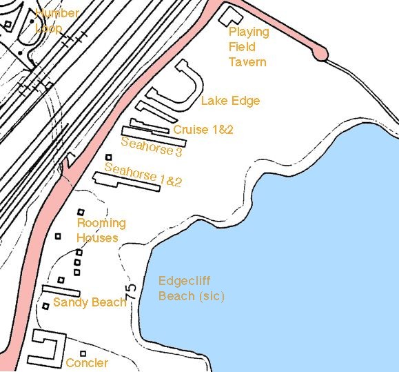
Concler was just north of modern Brooker's Lane. Palace Pier Court at the top

| North Strip | Northern Beach | HOME |
| Central Strip | Central Beach | Misc |
| South Strip | Southern Beach | Aerial Photos |
| Directory |

Concler was just north of modern Brooker's Lane. Palace Pier Court at the top

37 Sandy Beach Motel rear showing beach and houses. The four houses behind the green-roofed shed are: 2113 2111 2109 and 2107. 2107 is behind the semi-detached at 2103/2105.

17: Sandy Beach Motel & adjacent houses

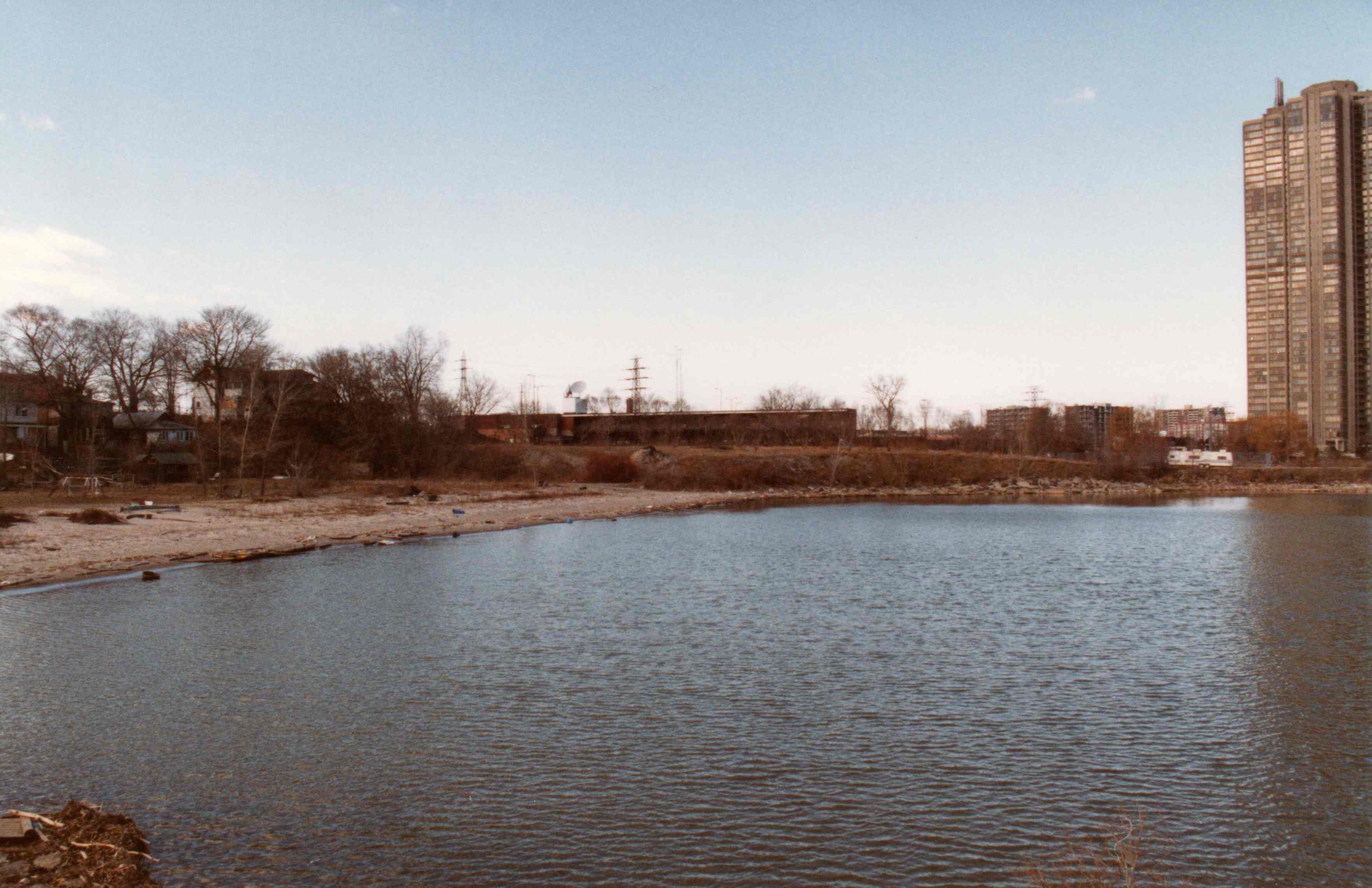
10: houses with Seahorse1, Swansea & Palace Pier condos behind. White trailer on right is just in front of Seahorse tennis court.

exPProof: sandy Beach viewed from atop Palace Pier. Lawn behind North American/Hillcrest can be seen at top of the photo. Fence at bottom of photo encloses Seahorse tennis court.

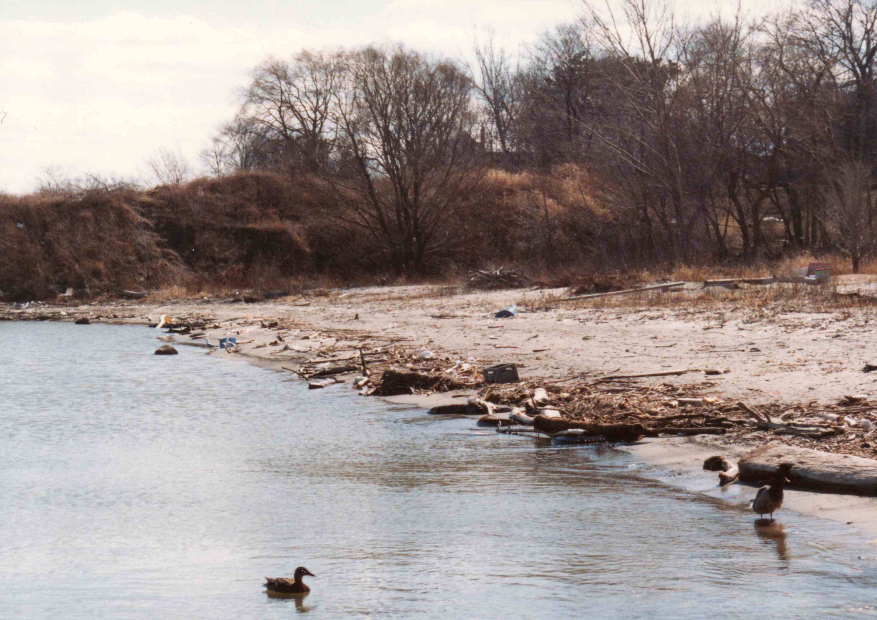
39: looking SW from beach towards Concler
